The area that is now known as Cheat Lake near Morgantown was originally just the Cheat River flowing through its valley until it finally met with the Monongahela River at Point Marion. In fact, a young George Washington surveyed the area back in 1784 and crossed the river where we do today. To meet the growing need for electricity in the area, plans were drawn up for a dam across the river to create what was to be known as Lake Lynn. This was finally finished at the end of 1925 as the lake reached its final height. However, the locals refused to call it by anything other than Cheat Lake although it took 50 years for the name to be officially changed to Cheat Lake in 1976. I also created a short video of my Cheat Lake images with a narration by me, which can be found in this story. If you prefer, you can listen to this article rather than read it.
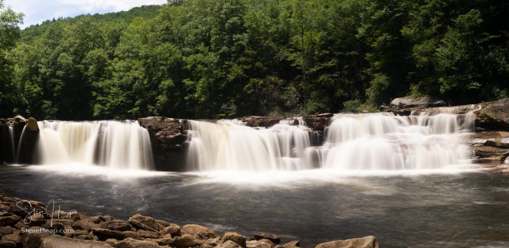
The Cheat River itself starts near Parsons in West Virginia and is formed by the confluence of five separate rivers and starts its, often tumultuous, route to the lake. The High Forks of Cheat waterfalls are well worth a visit in their own right. Although you can hike to them, it is considerably easier taking the train journey up into the mountains from Elkins!
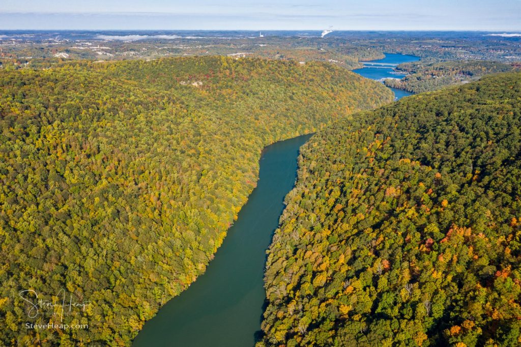
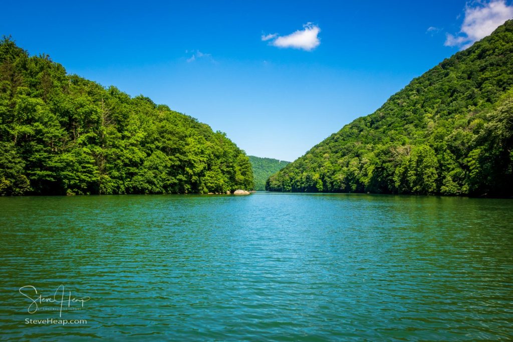
But getting closer to the lake the river calms down and flows through the steep wooded valleys of the Coopers Rock State Forest and finally we see the lake appearing in the distance. The entrance to the lake is a calm and delightful wide river, still hemmed in by the trees and hills with fishing, kayaking and, yes, power-boating a common feature in summer.
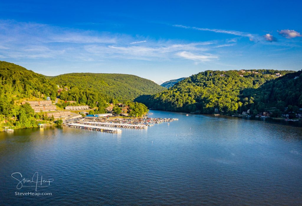
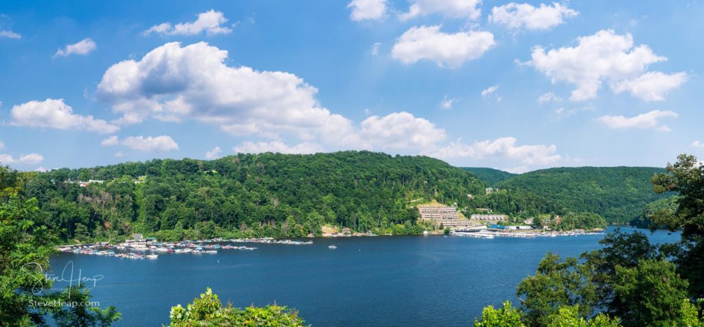
The Cheat Lake Marina and famous old Mont Chateau building, once a thriving hotel, herald our entrance into the lake itself.
This area of the lake is perhaps the most picturesque with the folds in the mountains adding to the scenery and it is also the view closest to my home, so I guess I am somewhat biased! I’ve taken many photos from the spot below, on the hillside by the Outlooks development although before I qualified as a drone pilot, I had to spend quite a lot of time removing the power lines that run alongside the Cheat Road in that area. Now, of course, I can fly above them!
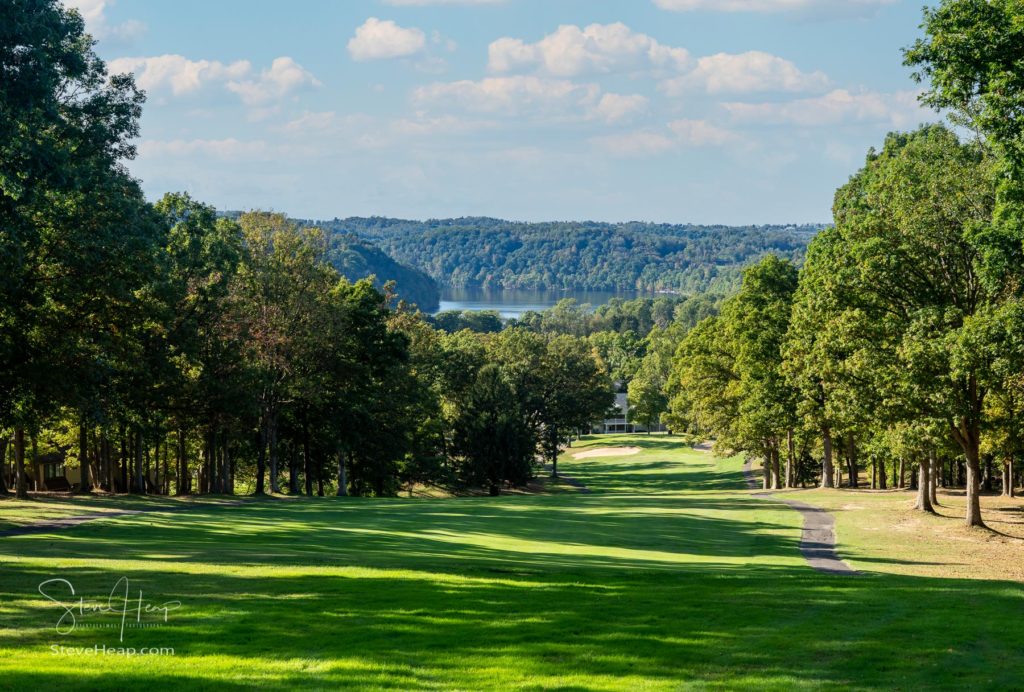
I’m also partial to this view down the fairway on the 7th hole of Lakeview Golf Course towards the lake. There is something very calming about the way the grass leads down the hill with the lake in the far distance.
But undoubtedly the area comes into its own in the fall as the leaves turn to their autumnal hues. This is often the best time to be out and about around the lake and I have more than my fair share of images taken around this time of the year. This first one is at the entrance to the lake, looking upstream into the canyon.
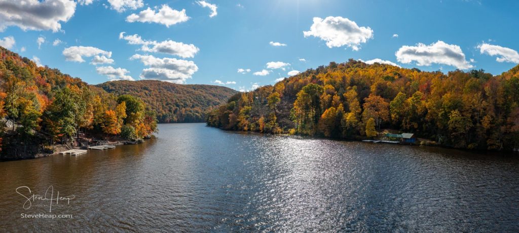
And then we come to one of my favorite fall shots and one that I have on my wall as a metal panoramic print. The day was just perfect with fluffy white clouds and a reasonably calm water surface. Of course, the power lines had to go, and, from what I recall, there was a dead tree on the right that was spoiling the look at that end of the image. Cheating, perhaps, but who wants a dead tree branch distracting them from their print?
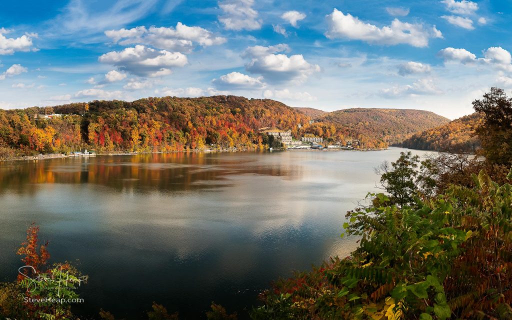
This next panorama is taken just a little further along the lake from above the I68 bridge and looking downstream.
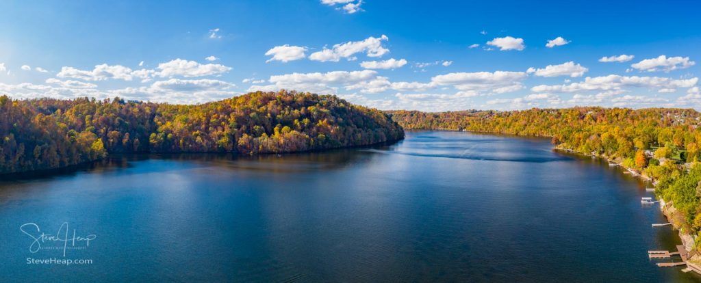
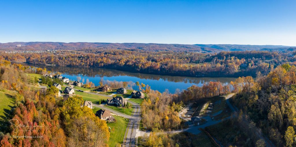
I don’t have many images of the next section as it is a little trickier to access but I did take one shot of the lake and the hills in the distance from the new development on the west side of the lake called the Woods of the Summit.
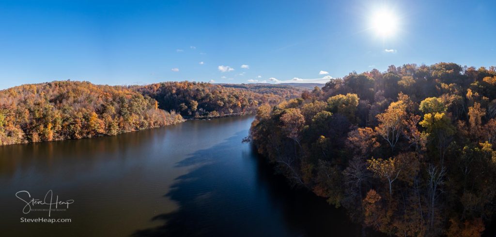
Then we come to the area of the lake dominated by two inlets and the Cheat Lake Park. Accessed at the end of Morgans Run Road, this park was originally named West Penn Beach after the power company that operated the dam and the power station there. This first image is of the inlet which I think is actually called Morgan Run and was taken early one morning when the lake was very still. I think I was the only one in the park and captured some lovely fall colors. The backlit leaves add a real touch of contrast as the sun just catches them.
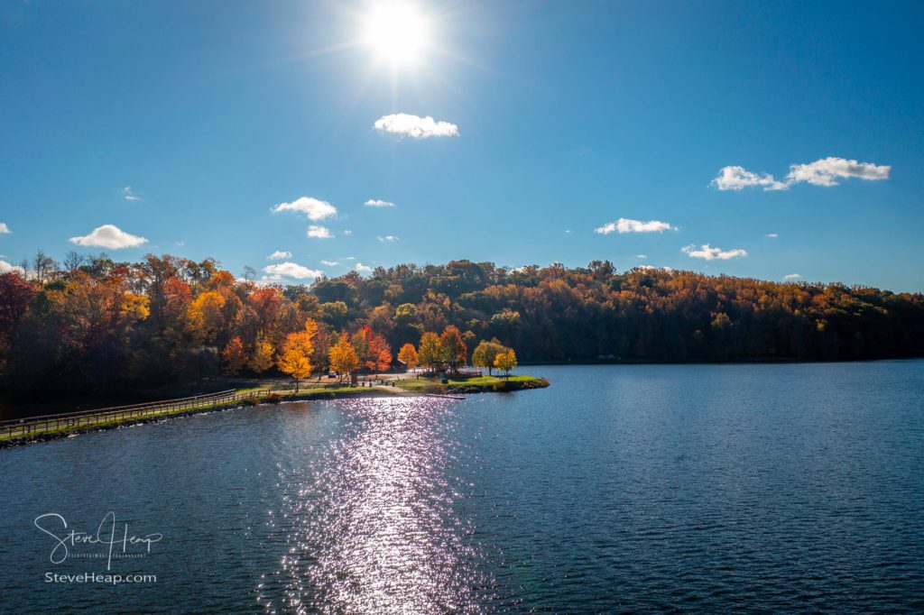
As the sun rose higher, I took advantage of how its rays were hitting the smaller trees planted at the park itself to capture this view of the lake:
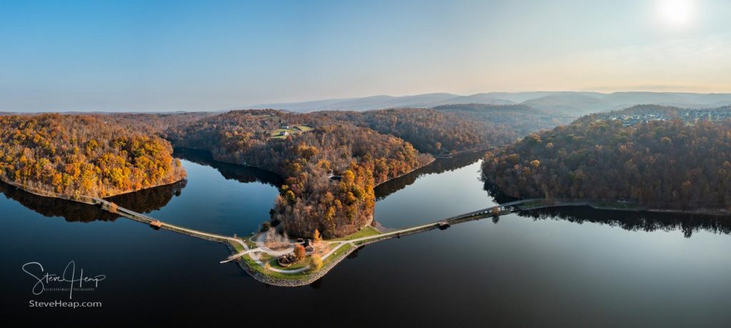
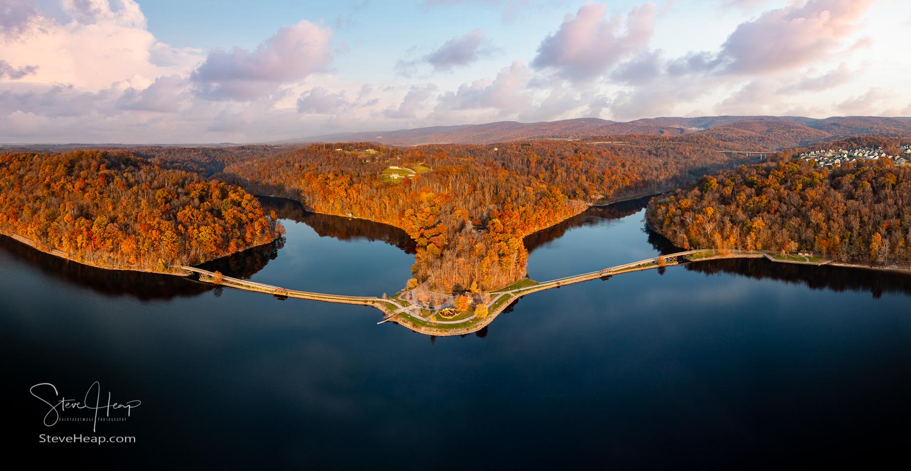
Ten days later, I woke to another perfectly calm morning and so I was off to the park again. This time, the water in the lake was completely still – not a ripple in sight. Taking the drone to its maximum allowed height of 400 feet gave me a great perspective of the morning light illuminating the park, the two inlets and the hills in the background.
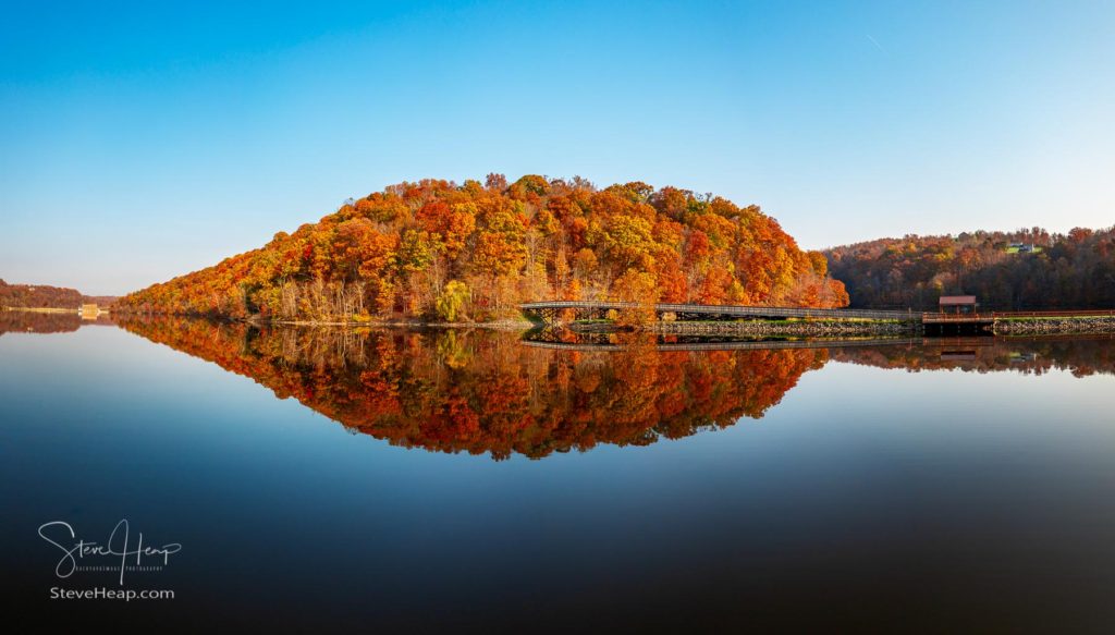
I was really on a roll that morning as reflections surrounded me in each direction. This next image was taken from the lake looking back towards the rail trail and the entrance to Rubles Run with the dam just visible on the left-hand side. The lake was so calm that this forms a perfect reflection of the hill and trees.
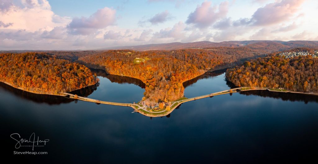
I took quite a few more shots that morning, which you can see in my online store in the Morgantown collection, but the day was not yet over. I thought some sunset shots would be nice and so I was back again that evening to capture my final images of the lake on that gorgeous day. This one is looking over the park towards the hills with the sun casting light from the front this time onto the trees and leaves. As you can see, no wind had developed during the day and so we still had perfect conditions.
But eventually the seasons change, and the cold weather comes to stay! This year was the first time we saw the lake actually freeze over and then, with another snowfall, we had the pretty sight of a snow-covered lake leading into the mountains.
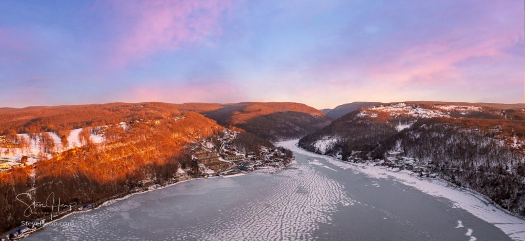
This was taken as the sun was setting late in the afternoon, but a few mornings later I woke to see the makings of a great sunrise. You can usually tell from the positioning of the clouds over a clear horizon and so I quickly got my drone into the air to capture this dawn image of the fiery sky over the frozen snow-covered lake. Magical!
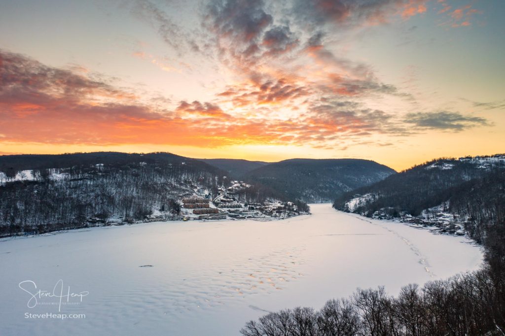
A fifteen-minute flight is all I can manage on these freezing mornings. It isn’t possible to control the drone with gloved hands and so my fingers are ready to go home. But these images of the Almost Heaven scenery made it all worthwhile.
Prints and Digital Downloads
If you want a full turnkey solution where your chosen image is printed, matted, framed and shipped to your door with a 30 day money back guarantee and free shipping in the USA, please visit my online store
Louis Dallara
9 Feb 2022Great collection of beautiful landscapes, I love your drone images, nice and sharp. You are a brave man to fly cold temperatures. Love the pano, great color.
admin
9 Feb 2022Thanks Louis! Yes, the drone does really nice images. I usually do a stitched panorama for most of them to get a broader view and more resolution, but even single shots do well. I normally take 3 automatically at different exposures (in raw) and process the one that has the highest exposure without clipping. Now trying to complete a video of this article on YouTube!
Pingback: Creating a video of the Cheat Lake story – Backyard Image
Becky Cordray Barabe
28 Jul 2022Growing up my family and I spent many many years at the lake, swimming boating and ice-skating. I love the change of seasons there as you have depicted. Thanks for all your lovely photos not only of the lake but of Morgantown in general!
Steve Heap
29 Jul 2022Thanks Becky – I’m glad you are finding my website interesting! And thanks for taking the time to comment!
Jennifer Lancaster
24 Jun 2023There was a bridge down by backwaters and it’s gone today but I have no idea where to find pictures or what the name is is down cheat lake park off Morgan’s run road can y please help me to find a name if the wooden bridge
Steve Heap
25 Jun 2023Hi Jennifer
I don’t really know the history of Cheat Lake and particularly those bridges. I’m assuming the current rail trail goes over more modern bridges now. There is a Facebook group called Historic Cheat Lake that is probably your best way to find something out about these bridges. I have photos of the current ones, but perhaps there were earlier ones.
Steve