My story about the Bird’s Eye street plans of Morgantown reminded me of my attempt to reproduce the view of Morgantown depicted in Thadeus Morton Fowler’s map. TM Fowler was the most prolific of the cartographers who went around the (mainly) northern states of the US in the late 1800s creating these dynamic, full of energy, maps of the main towns and cities. The local Chambers of Commerce had a big hand in this – they wanted something that could be used to attract new business and so these scenes were always shown with bustling industry, trains racing along tracks, boats plying the rivers and they paid the artists to come and create the engravings. In the end, TM Fowler created 468 of these maps until a fall on an icy street at age 80 ended his life. He tended to spend time in the same area drawing maps of all the major towns and then moving on to the next area, and so Morgantown was in his “West Virginia” period in 1898 and 1899.
Although it would have been possible to have taken a hot air balloon, it doesn’t seem like this was normal. He would have mapped out the street plan itself, looked at the town from various high points and then created the bird’s eye view from that. I can’t imagine him sitting out on a hilltop drawing this level of detail!
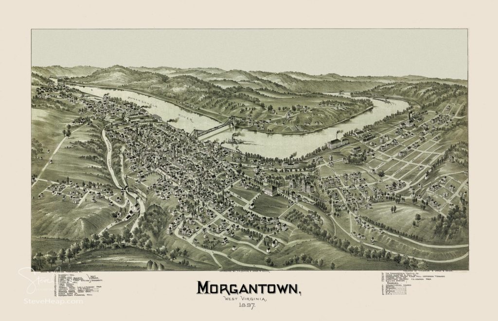
But I was still intrigued by the location he chose as the apparent viewing platform. The shape of the river aligns pretty well with how it looks today, and the location of the bridge and Woodburn Hall indicates a place somewhere around the Town Hill Tavern on Willey Street. That small road along the bottom edge of the map is Willey Street and perhaps the Tavern was a nice place to get warm after a morning’s viewing and sketching!
I got an Oculus Quest virtual reality headset recently and you can wander over the earth’s surface thanks to Google Earth, flying higher, moving forwards and backwards, and the buildings and hills magically appear around you. Thanks to that, I did maneuver myself over the homes now built on that hilltop above Morgantown behind the tavern and decided that was probably the right spot.
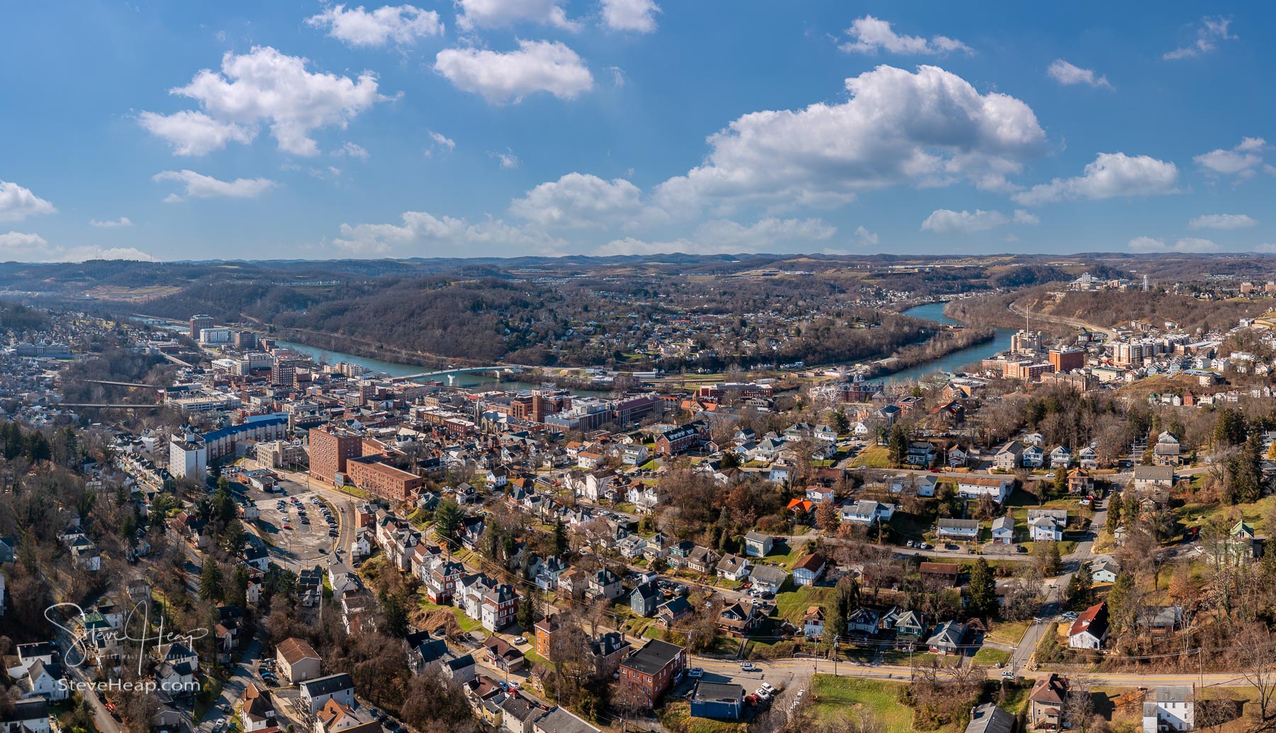
So, on the next warm sunny day, I got my drone, got permission from the airport to fly over that area and tried to reproduce the view. Not as easy as it seems, and I took quite a number of different views, taking several images from each spot to create a more panoramic view. This one is the closest I think:
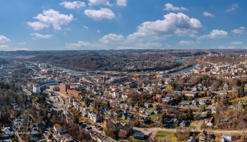
As you can see, Morgantown is a lot busier now! But the river is forming the right shape, the bridge is in the right position and Woodburn Hall can be seen, so I think this is a close as we will get!
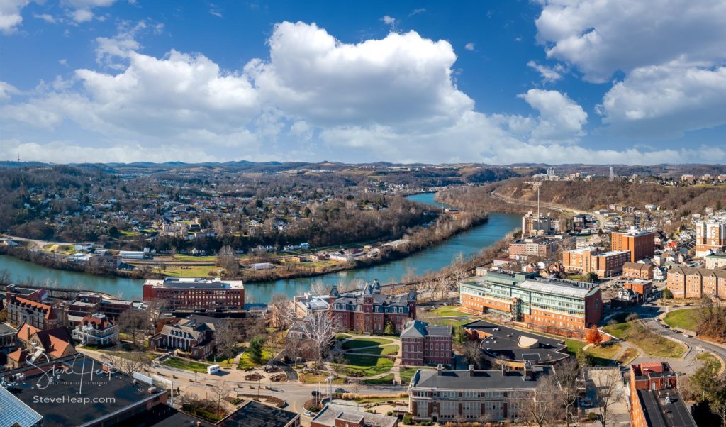
I did also capture a nice view of the Woodburn Circle area of WVU at the same time:
This bit of research into Thaddeus has made me investigate more of his, and the other cartographer’s work around that time. I’ll add more bird’s eye views in the coming weeks. I added a new gallery or collection in my online store to make these easier to find. The Antique Maps and Drawings collection can be found here. I added Pittsburgh and Uniontown last night and more are on the way!
As usual, all my images are available as prints and on many other products. So, for that perfect, gift, please browse through the selection.
Pingback: Enhancing maps from the Library of Congress – Backyard Image